The Pekoe trail is an approx. 300 km walking trail cutting across the central Tea country of Sri Lanka; from Hantana (Kandy) to Nuwara-eliya, which is divided in to 22 stages.
The stage 09 of Pekoe trail is from Bogawanthalawa to Dayagama, via the 'Haritha-kanda' (Green-mountain) [approx. distance 17 km / approx. elevation gain 1,900 ft / approx elevation loss 1.500 ft].
The stage 10 of it is from Dayagama to Horton plains (of which 5 km would be through a forest trail between the Horton-plains National park) [approx. total distance of the stage is 15 km / approx. elevation gain 3.000 ft / approx. elevation loss 700 ft].
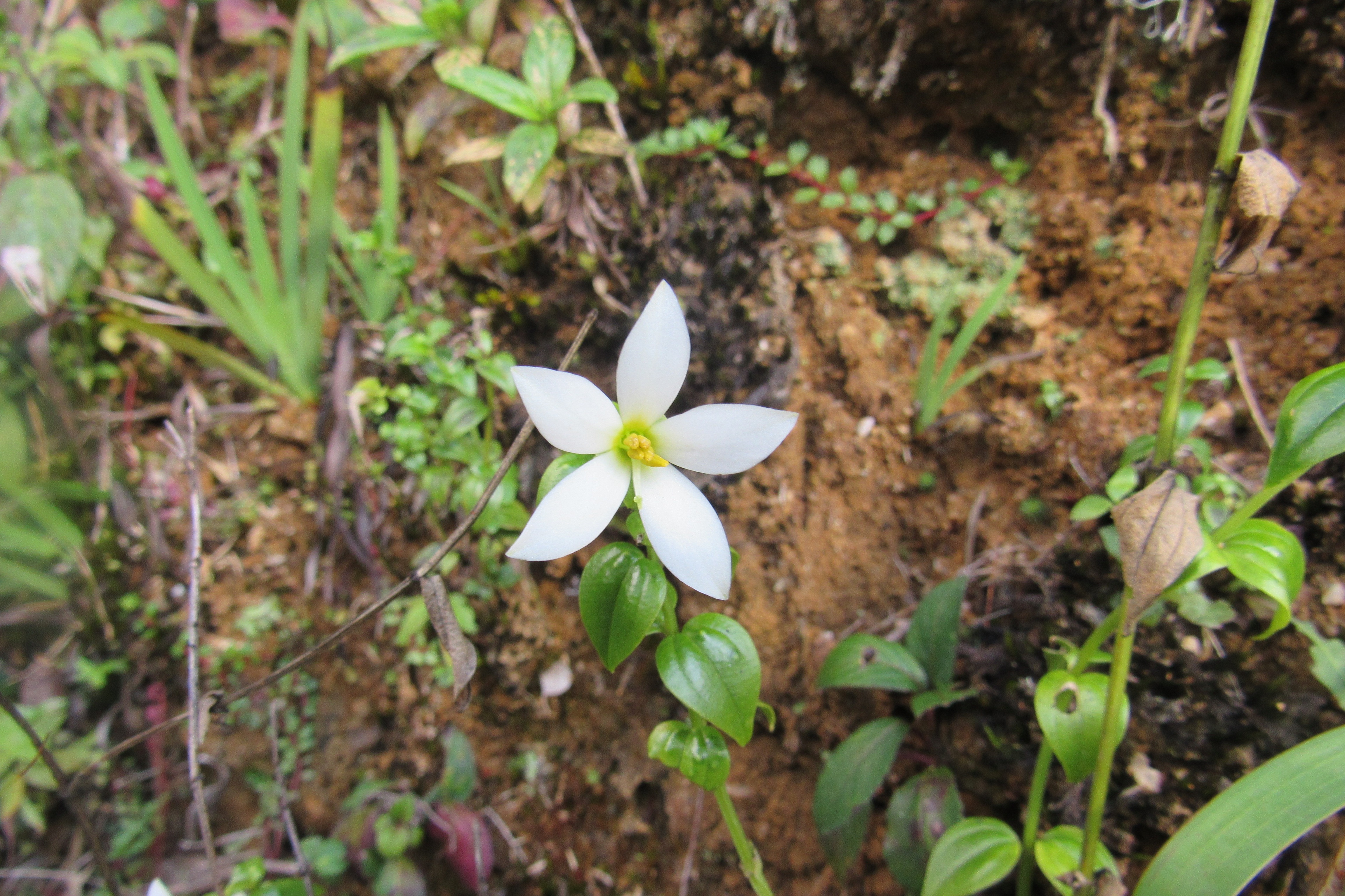
I joined a Pekoe trail investigation team on their walk from Haritha-kanda to the Horton plains boundary at Dayagama-East, between the 04th of April and 07th of April 2023. These are some photos taken in and around the trail.
 |
| From Left to Right; Lasantha, Nuwan, Ashan & Gamini |
 |
| (Photo taken by Gamini) |
 |
| photo by Nuwan Dinuka (Haritha-kanda climb) |
 |
| Photo by Nuwan Dinuka (Menikpalama Farm area) |
 |
| "Haritha Kanda" (Green Mountain) |
 |
| Great Tit |
 |
| "Maha Rath Mal" |
 |
| "Seetha Pera" |
 |
| Giant Squirrel (the Highland sub-species) |
 |
| Dusky-Striped Squirrel |


No comments:
Post a Comment